Flooding is the defining constraint on development in Houston. After Hurricane Harvey, the city, counties and flood control district tightened rules significantly. For developers, these rules shape site selection, design and cost.
This is a general overview; work with a licensed civil engineer for project-specific requirements.
Chapter 19: the City of Houston’s floodplain ordinance
In 2018, the City of Houston amended Chapter 19 to require that new construction and substantial improvements in both the 100-year and 500-year floodplains have finished floors elevated above the 500-year flood elevation (generally by two feet). Previously, requirements focused on the 100-year floodplain.
Implications:
- Higher foundations, fill or pier-and-beam construction.
- Accessibility and driveway design challenges on small infill lots.
- Higher construction costs in affected areas.
Atlas 14: updated rainfall data
NOAA’s Atlas 14 study increased estimates for heavy rainfall in the Houston region. Floodplain mapping, drainage design and detention criteria have been updated in response. Some properties that were outside mapped floodplains may be included as maps are revised.
Detention
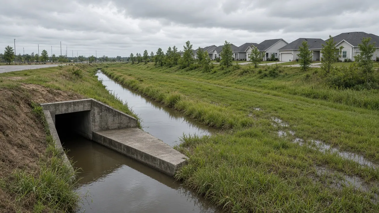
New development typically must detain stormwater on site so runoff doesn’t increase flooding downstream. Detention ponds or underground storage can consume a meaningful share of a site, sometimes the deciding factor in whether a project works.
County and district rules
Harris County, Fort Bend County, Montgomery County and other jurisdictions have their own floodplain and drainage criteria, along with flood control and drainage districts. Requirements outside the City of Houston can differ.
Diligence for development sites
- Identify floodplain status under effective and preliminary maps.
- Estimate required finished floor elevations.
- Estimate detention volume and land required.
- Identify the outfall: where stormwater will go.
- Confirm requirements with the city or county early.
- Price fill, foundation and drainage costs into your pro forma.
The upside
Stricter rules make new development more resilient and can support values. Projects that are designed well can market resilience as an advantage.
Frequently asked questions
How high must new homes be built in Houston floodplains?
Under Chapter 19, new construction in the 100- and 500-year floodplains must be elevated above the 500-year flood elevation, generally by two feet.
What is detention?
On-site stormwater storage that limits runoff so development doesn’t increase downstream flooding.
Did Atlas 14 change the floodplain maps?
Atlas 14 rainfall data has been incorporated into updated drainage criteria and floodplain mapping efforts in the region.
How we help
We build floodplain and detention review into every land and development acquisition. Learn about our development and land practices.
Have a deal or question in mind?
Talk it through with Apurva. A 20-minute call is usually enough to know your next step.